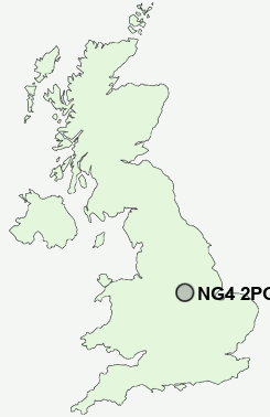
Postcode : NG4 2PG, Nottinghamshire
Wright Street, Netherfield, Nottingham.
NG4 2PG close to Colwick, Netherfield, Gedling and Carlton.
Classification
NG4 2PG : Urbanites / Urban professionals and families / Families in terraces and flats
Local Authority Gedling
Primary Care Trust Nottinghamshire County Teaching
Ward Netherfield
Constituency Gedling
Region East Midlands
Country England
Postcode Area NG : Nottingham
NG4 Postcode Sectors
NG4 2PG Nearby Postcode Districts
DE1 DE21 DE24 DE5 DE56 DE7 DE72 DE75 NG1 NG10 NG11 NG12 NG13 NG14 NG15 NG16 NG2 NG3 NG4 NG5 NG6 NG7 NG8 NG9
Stations near to NG4 2PG
Carlton Rail StationNetherfield Rail Station about 0.27 miles away.
Burton Joyce Rail Station about 2 miles away.
Radcliffe (Notts) Rail Station about 2.04 miles away.
NG4 2PG Schools
Priory Junior SchoolCarlton Central Junior School
Central Infant and Nursery School
Phoenix Infant and Nursery School
Willow Farm Primary School
Parkdale Primary School
Haddon Primary and Nursery School
Standhill Infants' School
Westdale Junior School
Westdale Infant School
Porchester Junior School
UK Search
Antique Furniture
1000s of pieces of Antique Furniture for sale from British antique dealers.