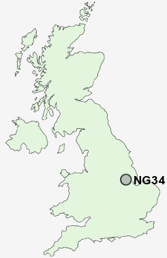
Postcode : NG34 7DF, Sleaford, Lincolnshire
Church Lane, Sleaford.
Classification
NG34 7DF : Constrained city dwellers / Ageing city dwellers / Retired communal city dwellers
Local Authority North Kesteven
Primary Care Trust Lincolnshire Teaching
Ward Sleaford Navigation
Constituency Sleaford and North Hykeham
Region East Midlands
Country England
Postcode Area NG : Nottingham
NG34 Postcode Sectors
NG34 9 Anwick, Asgarby, Boughton, Evedon, Ewerby
NG34 0 Aslackby, Billingborough, Birthorpe, Braceby, Bridge End
NG34 0 Aslackby, Billingborough, Birthorpe, Braceby, Bridge End
NG34 7DF Nearby Postcode Districts
Stations near to NG34 7DF
Sleaford Rail Station about 0.4 miles away.Rauceby Rail Station about 2.24 miles away.
Ruskington Rail Station about 3.03 miles away.
NG34 7DF Schools
Church Lane Primary SchoolCarre's Grammar School
The St George's College of Technology
William Alvey School
Kesteven and Sleaford High School
Our Lady of Good Counsel Catholic Primary School
The Leasingham St Andrew's Church of England Primary School
UK Search
Antique Furniture
1000s of pieces of Antique Furniture for sale from British antique dealers.