Postcode : NG2 4FZ, Market Warsop, Nottinghamshire
Sneinton Boulevard, Nottingham.
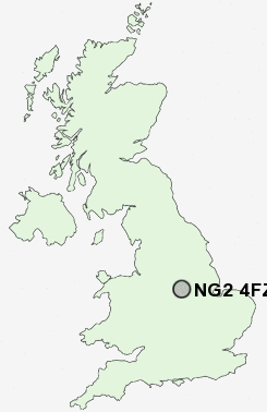
NG2 4FZ close to Southwell and Sneinton.
Classification
NG2 4FZ : Multicultural metropolitans / Rented family living / Social renting young families
Local Authority Nottingham
Primary Care Trust Nottingham City
Ward Dales
Constituency Nottingham East
Region East Midlands
Country England
Postcode Area NG : Nottingham
NG2 Postcode Sectors
NG2 4FZ Nearby Postcode Districts
DE1 DE21 DE22 DE23 DE24 DE5 DE56 DE7 DE72 DE75 NG1 NG10 NG11 NG12 NG13 NG14 NG15 NG16 NG2 NG3 NG4 NG5 NG6 NG7 NG8 NG9
Stations near to NG2 4FZ
Nottingham Rail Station about 1.05 miles away.Netherfield Rail Station about 1.89 miles away.
Carlton Rail Station about 2.04 miles away.
NG2 4FZ Schools
Standhill Infants' SchoolGreenfields Community School
Parkdale Primary School
Porchester Junior School
Carlton Central Junior School
Central Infant and Nursery School
Riverside Primary School and Early Years Unit
Walter Halls Primary and Early Years School
UK Search
Antique Furniture
1000s of pieces of Antique Furniture for sale from British antique dealers.