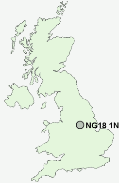
Postcode : NG18 1NQ, Mansfield, Nottinghamshire
Handley Arcade, Mansfield.
Classification
NG18 1NQ : Constrained city dwellers / Challenged diversity / Transitional Eastern European neighbourhood
Local Authority Mansfield
Primary Care Trust Nottinghamshire County Teaching
Ward Carr Bank
Constituency Mansfield
Region East Midlands
Country England
Postcode Area NG : Nottingham
NG18 Postcode Sectors
NG18 1NQ Nearby Postcode Districts
DE4 DE55 NG17 NG18 NG19 NG20 NG21 NG22 NG23 NG24 NG25 S40 S42 S44 S45
Stations near to NG18 1NQ
Mansfield Rail Station about 0.29 miles away.Mansfield Woodhouse Rail Station about 1.28 miles away.
NG18 1NQ Schools
Asquith Primary SchoolHeatherley Primary School
Robin Hood Primary and Nursery School
Rosebrook Primary School
Berry Hill Primary School
Forest Town Primary School
Nettleworth Infant and Nursery School
Leas Park Junior School
Holly Primary School
Crescent Primary School
Peafield Lane Primary and Nursery School
The Manor School
UK Search
Antique Furniture
1000s of pieces of Antique Furniture for sale from British antique dealers.