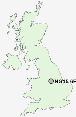
Postcode : NG15 6EZ, Hucknall, Nottinghamshire
High Leys Road, Hucknall, Nottingham.
NG15 6EZ close to Beauvale, Ruffs, Hazelgrove and Westville.
Classification
NG15 6EZ : Suburbanites / Semi-detached suburbia / Semi-detached ageing
Local Authority Ashfield
Primary Care Trust Nottinghamshire County Teaching
Ward Hucknall West
Constituency Sherwood
Region East Midlands
Country England
Postcode Area NG : Nottingham
NG15 Postcode Sectors
NG15 6 Beauvale, Ruffs, Westville
NG15 9 Blidworth Dale, Ravenshead
NG15 7 Broomhill, Butler's Hill, Hazelgrove, Hucknall
NG15 9 Blidworth Dale, Ravenshead
NG15 7 Broomhill, Butler's Hill, Hazelgrove, Hucknall
NG15 6EZ Nearby Postcode Districts
DE21 DE22 DE4 DE5 DE55 DE56 DE7 DE75 NG1 NG13 NG14 NG15 NG16 NG17 NG2 NG25 NG3 NG4 NG5 NG6 NG7 NG8
Stations near to NG15 6EZ
Hucknall Rail Station about 0.92 miles away.Bulwell Rail Station about 2.29 miles away.
Newstead Rail Station about 2.71 miles away.
NG15 6EZ Schools
Hillside Primary and Nursery SchoolBroomhill Junior School
Butler's Hill Infant and Nursery School
Edgewood Primary and Nursery School
Leen Mills Primary School
Beardall Fields Primary and Nursery School
Rufford Junior School
Rufford Infant School
UK Search
Antique Furniture
1000s of pieces of Antique Furniture for sale from British antique dealers.