Postcode : NG11 9BT, Nottingham, Nottinghamshire
Dungannon Road, Nottingham.
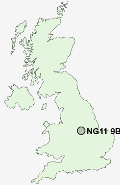
NG11 9BT close to Brook Hill and Clifton.
Classification
NG11 9BT : Hard-pressed living / Migration and churn / Hard-pressed ethnic mix
Local Authority Nottingham
Primary Care Trust Nottingham City
Ward Clifton South
Constituency Nottingham South
Region East Midlands
Country England
Postcode Area NG : Nottingham
NG11 Postcode Sectors
NG11 0 Barton in Fabis, Gotham, Kingston on Soar, New Kingston, Ratcliffe on Soar
NG11 6 Bradmore, Brook Hill, Bunny, Bunny Hill, Manor Park
NG11 6 Bradmore, Brook Hill, Bunny, Bunny Hill, Manor Park
NG11 9BT Nearby Postcode Districts
DE1 DE21 DE22 DE23 DE24 DE3 DE7 DE72 DE73 DE74 NG1 NG10 NG11 NG12 NG13 NG2 NG3 NG4 NG5 NG6 NG7 NG8 NG9
Stations near to NG11 9BT
Beeston Rail Station about 1.95 miles away.Nottingham Rail Station about 3.53 miles away.
NG11 9BT Schools
Milford Primary SchoolHighbank Primary and Nursery School
Whitegate Primary and Nursery School
Glapton Primary and Nursery School
Dovecote Primary and Nursery School
James Peacock Infant and Nursery School
Trent Vale Infant School
Beeston Rylands Junior School
Heymann Primary School
UK Search
Antique Furniture
1000s of pieces of Antique Furniture for sale from British antique dealers.