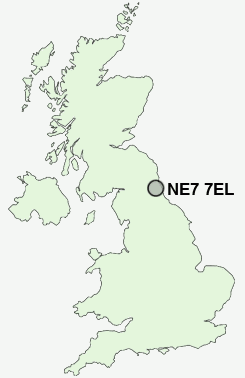
Postcode : NE7 7EL, Newcastle Upon Tyne, Tyne And Wear
Cragside, Newcastle upon Tyne.
Classification
NE7 7EL : Hard-pressed living / Challenged terraced workers / Hard pressed rented terraces
Local Authority Newcastle upon Tyne
Primary Care Trust Newcastle
Ward North Heaton
Constituency Newcastle upon Tyne East
Region North East
Country England
Postcode Area NE : Newcastle
NE7 Postcode Sectors
NE7 7EL Nearby Postcode Districts
NE1 NE10 NE11 NE12 NE13 NE15 NE16 NE17 NE18 NE2 NE20 NE21 NE23 NE25 NE26 NE27 NE28 NE29 NE3 NE30 NE31 NE32 NE33 NE34 NE35 NE36 NE37 NE39 NE4 NE40 NE41 NE42 NE43 NE44 NE5 NE6 NE7 NE8 NE9 NE99 SR1 SR4 SR5 SR6 SR9
Stations near to NE7 7EL
Manors Rail Station about 1.9 miles away.Newcastle Rail Station about 2.4 miles away.
Heworth Rail Station about 3.45 miles away.
NE7 7EL Schools
Balliol Primary SchoolGosforth Central Middle School
Longbenton High School
Redesdale Primary School
Benton Dene Primary School
Gosforth Junior High School
Gosforth East Middle School
UK Search
Antique Furniture
1000s of pieces of Antique Furniture for sale from British antique dealers.