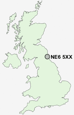
Postcode : NE6 5XX, Amble, Northumberland
Ninth Avenue, Newcastle upon Tyne.
NE6 5XX close to Newbiggin-by-the-Sea, Heaton, Byker and Walkergate.
Classification
NE6 5XX : Cosmopolitans / Students around campus / Students and professionals
Local Authority Newcastle upon Tyne
Primary Care Trust Newcastle
Ward South Heaton
Constituency Newcastle upon Tyne East
Region North East
Country England
Postcode Area NE : Newcastle
NE6 Postcode Sectors
NE6 5XX Nearby Postcode Districts
NE1 NE10 NE11 NE12 NE13 NE15 NE16 NE17 NE18 NE2 NE20 NE21 NE23 NE25 NE26 NE27 NE28 NE29 NE3 NE30 NE31 NE32 NE33 NE34 NE35 NE36 NE37 NE38 NE39 NE4 NE40 NE41 NE42 NE43 NE5 NE6 NE7 NE8 NE9 NE99 SR1 SR2 SR4 SR5 SR6 SR9
Stations near to NE6 5XX
Manors Rail Station about 1.32 miles away.Newcastle Rail Station about 1.9 miles away.
Heworth Rail Station about 2.41 miles away.
NE6 5XX Schools
Chillingham Road Primary SchoolHeaton Manor School
Benfield School
Cragside Primary School
Walker Technology College
Carville Primary School
Redesdale Primary School
Balliol Primary School
UK Search
Antique Furniture
1000s of pieces of Antique Furniture for sale from British antique dealers.