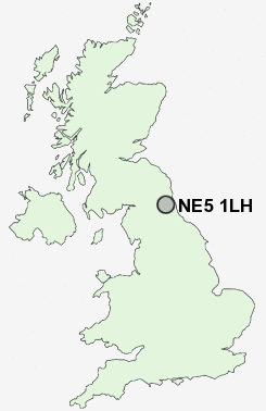
Postcode : NE5 1LH, West Denton, Newcastle Upon Tyne, Tyne And Wear
Newcastle upon Tyne, Tyne and Wear.
NE5 1LH close to West Denton, North Walbottle, Westerhope and Callerton.
Classification
NE5 1LH : Suburbanites / Semi-detached suburbia / Older workers and retirement
Local Authority Newcastle upon Tyne
Primary Care Trust Newcastle
Ward Westerhope
Constituency Newcastle upon Tyne North
Region North East
Country England
Postcode Area NE : Newcastle
NE5 Postcode Sectors
NE5 1 Black Callerton, Callerton, Callerton Lane End, North Walbottle, West Denton
NE5 3 Blakelaw, Kenton Bar
NE5 2 East Denton
NE5 3 Blakelaw, Kenton Bar
NE5 2 East Denton
NE5 1LH Nearby Postcode Districts
NE1 NE10 NE11 NE12 NE13 NE15 NE16 NE17 NE18 NE2 NE20 NE21 NE23 NE25 NE26 NE27 NE28 NE29 NE3 NE30 NE31 NE32 NE33 NE34 NE35 NE36 NE37 NE39 NE4 NE40 NE41 NE42 NE43 NE44 NE45 NE46 NE5 NE6 NE7 NE8 NE9 NE99 SR1 SR4 SR5 SR6 SR9
Stations near to NE5 1LH
Blaydon Rail Station about 2.19 miles away.Newcastle Airport Metro about 2.68 miles away.
NE5 1LH Schools
Milecastle Primary SchoolKnop Law Primary School
West Denton Primary School
Westerhope Primary School
Walbottle Village Primary School
Walbottle Campus
Beech Hill Primary School
Newburn Manor Primary School
Cheviot Primary School
Broadwood Primary School
Lemington Riverside Primary School
UK Search
Antique Furniture
1000s of pieces of Antique Furniture for sale from British antique dealers.