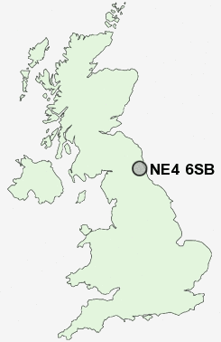
Postcode : NE4 6SB, Ryton, Gateshead, Tyne And Wear
Park Close, Newcastle upon Tyne.
Classification
NE4 6SB : Ethnicity central / Ethnic dynamics / Constrained neighbourhoods
Local Authority Newcastle upon Tyne
Primary Care Trust Newcastle
Ward Westgate
Constituency Newcastle upon Tyne Central
Region North East
Country England
Postcode Area NE : Newcastle
NE4 Postcode Sectors
NE4 6SB Nearby Postcode Districts
DH3 NE1 NE10 NE11 NE12 NE13 NE15 NE16 NE17 NE18 NE2 NE20 NE21 NE25 NE26 NE27 NE28 NE29 NE3 NE30 NE31 NE32 NE33 NE34 NE35 NE36 NE37 NE38 NE39 NE4 NE40 NE41 NE42 NE43 NE44 NE45 NE5 NE6 NE7 NE8 NE9 NE99 SR1 SR2 SR3 SR4 SR5 SR6 SR9
Stations near to NE4 6SB
Newcastle Rail Station about 0.77 miles away.Manors Rail Station about 1.3 miles away.
Dunston Rail Station about 1.31 miles away.
Metrocentre Rail Station about 1.34 miles away.
NE4 6SB Schools
Hawthorn Primary SchoolWestgate Hill Primary School
St Johns Primary School
Canning Street Primary School
Bridgewater Primary School
Stocksfield Avenue Primary School
UK Search
Antique Furniture
1000s of pieces of Antique Furniture for sale from British antique dealers.