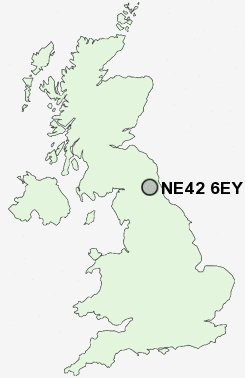
Postcode : NE42 6EY, Prudhoe, Northumberland
Highfield Lane, Prudhoe.
NE42 6EY close to Prudhoe, Eltringham, Ovingham, Low Prudhoe and West Wylam.
Classification
NE42 6EY : Suburbanites / Semi-detached suburbia / Semi-detached ageing
Local Authority Northumberland
Primary Care Trust Northumberland
Ward Prudhoe North
Constituency Hexham
Region North East
Country England
Postcode Area NE : Newcastle
NE42 Postcode Sectors
NE42 6EY Nearby Postcode Districts
DH2 DH3 DH9 NE1 NE10 NE11 NE12 NE13 NE15 NE16 NE17 NE18 NE2 NE20 NE21 NE25 NE26 NE27 NE28 NE29 NE3 NE31 NE32 NE35 NE37 NE38 NE39 NE4 NE40 NE41 NE42 NE43 NE44 NE45 NE46 NE47 NE5 NE6 NE7 NE8 NE9 NE99
Stations near to NE42 6EY
Prudhoe Rail Station about 0.64 miles away.Wylam Rail Station about 1.97 miles away.
NE42 6EY Schools
Highfield Middle SchoolSt Matthew's Roman Catholic Voluntary Aided First School
Prudhoe West First School
Prudhoe Community High School
Prudhoe Castle First School
Adderlane First School
Ovingham Middle School
Ovingham Church of England First School
Mickley First School
UK Search
Antique Furniture
1000s of pieces of Antique Furniture for sale from British antique dealers.