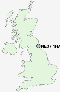
Postcode : NE37 1HA, Blackfell, Sunderland, Tyne And Wear
Washington, Tyne and Wear.
NE37 1HA close to Blackfell, Oxclose and Albany.
Classification
NE37 1HA : Suburbanites / Semi-detached suburbia / White suburban communities
Local Authority Sunderland
Primary Care Trust Sunderland Teaching
Ward Washington West
Constituency Washington and Sunderland West
Region North East
Country England
Postcode Area NE : Newcastle
NE37 Postcode Sectors
NE37 1HA Nearby Postcode Districts
DH2 DH3 DH4 DH5 DH8 DH9 NE1 NE10 NE11 NE15 NE16 NE17 NE2 NE21 NE28 NE31 NE32 NE33 NE34 NE35 NE36 NE37 NE38 NE39 NE4 NE40 NE41 NE42 NE43 NE5 NE6 NE7 NE8 NE9 NE99 SR1 SR2 SR3 SR4 SR5 SR6 SR7 SR9
Stations near to NE37 1HA
Heworth Rail Station about 3.35 miles away.Chester-le-Street Rail Station about 3.55 miles away.
NE37 1HA Schools
Blackfell Primary SchoolOxclose Community School
Holley Park Primary School
Lambton Primary School
Wessington Primary School
Washington School
Biddick Primary School
John F Kennedy Primary School
Biddick School Sports College
Usworth Colliery Primary School
Rickleton Primary School
Fatfield Primary School
UK Search
Antique Furniture
1000s of pieces of Antique Furniture for sale from British antique dealers.