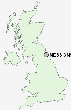
Postcode : NE33 3NS, Westoe, South Tyneside, Tyne And Wear
Sea Winnings Way, South Shields.
NE33 3NS close to Westoe, High Shields, South Shields, The Lawe and West Park.
Classification
NE33 3NS : Urbanites / Urban professionals and families / Families in terraces and flats
Local Authority South Tyneside
Primary Care Trust South Tyneside
Ward Horsley Hill
Constituency South Shields
Region North East
Country England
Postcode Area NE : Newcastle
NE33 Postcode Sectors
NE33 3NS Nearby Postcode Districts
NE1 NE10 NE11 NE12 NE13 NE15 NE16 NE17 NE2 NE20 NE21 NE23 NE25 NE26 NE27 NE28 NE29 NE3 NE30 NE31 NE32 NE33 NE34 NE35 NE36 NE37 NE39 NE4 NE40 NE41 NE5 NE6 NE7 NE8 NE9 NE99 SR1 SR4 SR5 SR6 SR9
Stations near to NE33 3NS
Brockley Whins Rail Station about 2.99 miles away.East Boldon Rail Station about 3.4 miles away.
NE33 3NS Schools
Westoe Crown Primary SchoolMarine Park Primary School
Mortimer Community College
Sea View Primary School
Stanhope Primary School
Harton Technology College
Harton Junior School
UK Search
Antique Furniture
1000s of pieces of Antique Furniture for sale from British antique dealers.