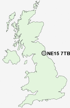
Postcode : NE15 7TB, Denton Burn, Newcastle Upon Tyne, Tyne And Wear
Broadwood Road, Newcastle upon Tyne.
NE15 7TB close to Denton Burn, Bell's Close and Scotswood.
Classification
NE15 7TB : Urbanites / Ageing urban living / Delayed retirement
Local Authority Newcastle upon Tyne
Primary Care Trust Newcastle
Ward Benwell and Scotswood
Constituency Newcastle upon Tyne Central
Region North East
Country England
Postcode Area NE : Newcastle
NE15 Postcode Sectors
NE15 7TB Nearby Postcode Districts
NE1 NE10 NE11 NE12 NE13 NE15 NE16 NE17 NE18 NE2 NE20 NE21 NE23 NE25 NE26 NE27 NE28 NE29 NE3 NE30 NE31 NE32 NE33 NE34 NE35 NE36 NE37 NE38 NE39 NE4 NE40 NE41 NE42 NE43 NE44 NE45 NE5 NE6 NE7 NE8 NE9 NE99 SR1 SR2 SR4 SR5 SR6 SR9
Stations near to NE15 7TB
Blaydon Rail Station about 1.25 miles away.Metrocentre Rail Station about 1.94 miles away.
NE15 7TB Schools
Broadwood Primary SchoolLemington Riverside Primary School
Stocksfield Avenue Primary School
Beech Hill Primary School
Bridgewater Primary School
Thomas Walling Primary School
Hilton Primary School
Westerhope Primary School
Canning Street Primary School
UK Search
Antique Furniture
1000s of pieces of Antique Furniture for sale from British antique dealers.