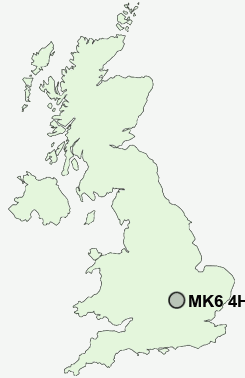
Postcode : MK6 4HA, Netherfield, Milton Keynes, Buckinghamshire
Milton Keynes, England.
MK6 4HA close to Netherfield, Wroughton Park, Woughton on the Green, Beanhill, Coffee Hall and Eaglestone.
Classification
MK6 4HA : Constrained city dwellers / Challenged diversity / Multi-ethnic hardship
Local Authority Milton Keynes
Primary Care Trust Milton Keynes
Ward Woughton & Fishermead
Constituency Milton Keynes South
Region South East
Country England
Postcode Area MK : Milton Keynes
MK6 Postcode Sectors
MK6 4HA Nearby Postcode Districts
MK1 MK10 MK11 MK12 MK13 MK14 MK15 MK16 MK17 MK18 MK19 MK2 MK3 MK4 MK42 MK43 MK45 MK5 MK6 MK7 MK8 MK9 SG17
Stations near to MK6 4HA
Fenny Stratford Rail Station about 1.54 miles away.Bow Brickhill Rail Station about 1.77 miles away.
Bletchley Rail Station about 1.83 miles away.
Milton Keynes Central Rail Station about 2.18 miles away.
MK6 4HA Schools
Langland Community SchoolMoorland Primary School
New Chapter School
Falconhurst School
Abbeys Primary School
Kents Hill School
The Willows School and Early Years Centre
Orchard School
Meadfurlong School
Penwith School
Shepherdswell School
UK Search
Antique Furniture
1000s of pieces of Antique Furniture for sale from British antique dealers.