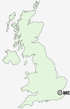
Postcode : ME12 2QT, Sheerness, Kent
Nursery Close, Sheerness, Kent.
ME12 2QT close to Marine Town, Halfway Houses, Mile Town, West Minster, Scrapsgate and Blue Town.
Classification
ME12 2QT : Suburbanites / Semi-detached suburbia / White suburban communities
Local Authority Swale
Primary Care Trust Eastern and Coastal Kent
Ward Sheerness
Constituency Sittingbourne and Sheppey
Region South East
Country England
Postcode Area ME : Medway
ME12 Postcode Sectors
ME12 4 Bay View, Eastchurch, Leysdown-on-Sea, Warden
ME12 1 Blue Town, Mile Town, Sheerness, West Minster
ME12 1 Blue Town, Mile Town, Sheerness, West Minster
ME12 2QT Nearby Postcode Districts
CT5 CT6 DA12 ME1 ME10 ME11 ME12 ME2 ME3 ME4 ME5 ME7 ME8 RM18 SS17 SS8
Stations near to ME12 2QT
Sheerness-on-Sea Rail Station about 0.7 miles away.Queenborough Rail Station about 1.73 miles away.
Swale Rail Station about 3.43 miles away.
ME12 2QT Schools
Richmond First SchoolCheyne Middle School
Rose Street Primary School
St Edward's Roman Catholic Primary School, Sheerness
West Minster Primary School
Danley Middle School
Halfway Houses Primary School
Minster College
Elliott Park School
Queenborough School and Nursery
Minster in Sheppey Primary School
UK Search
Antique Furniture
1000s of pieces of Antique Furniture for sale from British antique dealers.