Postcode : ME10 2HT, Howt Green, Kent
Middletune Avenue, Sittingbourne.
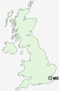
ME10 2HT close to Howt Green, Chalkwell, Milton Regis, Kemsley and Sittingbourne.
Classification
ME10 2HT : Hard-pressed living / Migration and churn / Hard-pressed ethnic mix
Local Authority Swale
Primary Care Trust Eastern and Coastal Kent
Ward Milton Regis
Constituency Sittingbourne and Sheppey
Region South East
Country England
Postcode Area ME : Medway
ME10 Postcode Sectors
ME10 2HT Nearby Postcode Districts
CT1 CT2 CT5 DA11 DA12 DA13 ME1 ME10 ME11 ME12 ME13 ME14 ME15 ME16 ME19 ME2 ME20 ME3 ME4 ME5 ME6 ME7 ME8 ME9
Stations near to ME10 2HT
Kemsley Rail Station about 0.67 miles away.Sittingbourne Rail Station about 0.79 miles away.
Swale Rail Station about 2.59 miles away.
ME10 2HT Schools
Regis Manor Community Primary SchoolMilton Court Primary School
Grove Park Community Primary School
Woodgrove Primary School
Murston Infant School
South Avenue Junior School
South Avenue Infant School
Canterbury Road Primary School
The Oaks Community Infant School
Minterne Community Junior School
Lansdowne Primary School
Sittingbourne Community College
UK Search
Antique Furniture
1000s of pieces of Antique Furniture for sale from British antique dealers.