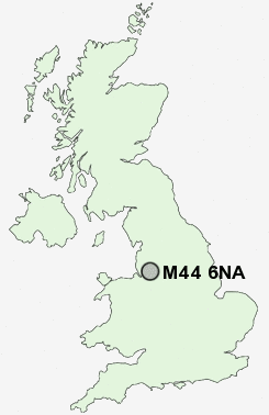
Postcode : M44 6NA, Irlam, Salford, Greater Manchester
Liverpool Road, Irlam, Manchester.
Classification
M44 6NA : Urbanites / Urban professionals and families / White professionals
Local Authority Salford
Primary Care Trust Salford
Ward Cadishead
Constituency Worsley and Eccles South
Region North West
Country England
Postcode Area M : Manchester
M44 Postcode Sectors
M44 6NA Nearby Postcode Districts
L34 L35 M1 M11 M12 M13 M14 M15 M16 M17 M18 M19 M2 M20 M21 M22 M23 M25 M27 M28 M29 M3 M30 M31 M32 M33 M34 M35 M38 M4 M40 M41 M43 M44 M46 M5 M6 M60 M7 M8 M9 M90 OL4 OL5 OL6 OL7 OL8 OL9 SK1 SK12 SK14 SK15 SK16 SK2 SK3 SK4 SK5 SK6 SK7 SK8 WA1 WA10 WA11 WA12 WA13 WA14 WA15 WA2 WA3 WA4 WA5 WA8 WA9 WN2 WN3 WN4 WN5 WN7
Stations near to M44 6NA
Irlam Rail Station about 0.95 miles away.Flixton Rail Station about 1.55 miles away.
Glazebrook Rail Station about 1.99 miles away.
M44 6NA Schools
Irlam Primary SchoolMoorfield Community Primary School
Fiddlers Lane Community Primary School
Irlam and Cadishead College
Wellacre Technology and Vocational College
Acre Hall Primary School
Cadishead Primary School
UK Search
Antique Furniture
1000s of pieces of Antique Furniture for sale from British antique dealers.