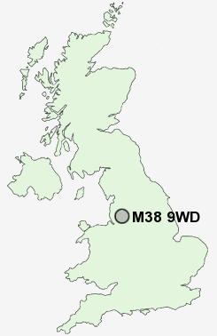
Postcode : M38 9WD, Salford, Greater Manchester
Bridgewater Street, Little Hulton, Manchester.
Classification
M38 9WD : Hard-pressed living / Migration and churn / Hard-pressed ethnic mix
Local Authority Salford
Primary Care Trust Salford
Ward Walkden North
Constituency Worsley and Eccles South
Region North West
Country England
Postcode Area M : Manchester
M38 Postcode Sectors
M38 9WD Nearby Postcode Districts
BL1 BL2 BL3 BL4 BL5 BL6 BL8 BL9 M1 M11 M12 M13 M14 M15 M16 M17 M18 M19 M2 M21 M24 M25 M26 M27 M28 M29 M3 M30 M32 M34 M35 M38 M4 M40 M41 M43 M44 M45 M46 M5 M6 M60 M7 M8 M9 OL1 OL10 OL11 OL16 OL2 OL4 OL5 OL6 OL7 OL8 OL9 SK14 SK15 SK16 SK5 WA10 WA11 WA12 WA3 WA9 WN1 WN2 WN3 WN4 WN5 WN6 WN7 WN8
Stations near to M38 9WD
Walkden Rail Station about 0.88 miles away.Farnworth Rail Station about 1.65 miles away.
Kearsley Rail Station about 1.71 miles away.
Moses Gate Rail Station about 1.84 miles away.
Bolton Rail Station about 3.13 miles away.
M38 9WD Schools
Bridgewater Primary SchoolNorth Walkden Primary School
Hilton Lane Primary School
Dukesgate Primary School
Peel Hall Primary School
James Brindley Community Primary School
Mesne Lea Primary School
Queensbridge Primary School
Wharton Primary School
Walkden High School
UK Search
Antique Furniture
1000s of pieces of Antique Furniture for sale from British antique dealers.