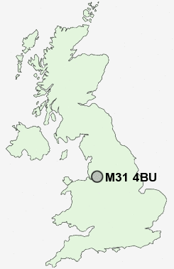
Postcode : M31 4BU, Partington, Trafford, Greater Manchester
Warburton Lane, Partington, Manchester.
Classification
M31 4BU : Constrained city dwellers / Challenged diversity / Multi-ethnic hardship
Local Authority Trafford
Primary Care Trust Trafford
Ward Bucklow-St Martins
Constituency Stretford and Urmston
Region North West
Country England
Postcode Area M : Manchester
M31 Postcode Sectors
M31 4BU Nearby Postcode Districts
L26 L34 L35 M1 M11 M12 M13 M14 M15 M16 M17 M18 M19 M2 M20 M21 M22 M23 M27 M29 M3 M30 M31 M32 M33 M34 M35 M4 M40 M41 M43 M44 M5 M6 M60 M7 M8 M90 OL6 OL7 SK1 SK12 SK14 SK15 SK16 SK2 SK3 SK4 SK5 SK6 SK7 SK8 SK9 WA1 WA10 WA11 WA12 WA13 WA14 WA15 WA2 WA3 WA4 WA5 WA7 WA8 WA9 WN4 WN7
Stations near to M31 4BU
Irlam Rail Station about 1.53 miles away.Glazebrook Rail Station about 1.59 miles away.
Flixton Rail Station about 2.94 miles away.
M31 4BU Schools
Broadoak SchoolPartington Primary School
Our Lady of Lourdes Catholic Primary School
Forest Gate Community Primary School
Hollins Green St Helen's CofE (Aided) Primary School
Cadishead Primary School
Irlam and Cadishead College
UK Search
Antique Furniture
1000s of pieces of Antique Furniture for sale from British antique dealers.