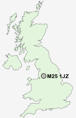
Postcode : M25 1JZ, Prestwich, Bury, Greater Manchester
Heys Road, Prestwich, Manchester.
Classification
M25 1JZ : Suburbanites / Semi-detached suburbia / Multi-ethnic suburbia
Local Authority Bury
Primary Care Trust Bury
Ward Holyrood
Constituency Bury South
Region North West
Country England
Postcode Area M : Manchester
M25 Postcode Sectors
M25 1JZ Nearby Postcode Districts
BL1 BL2 BL3 BL4 BL5 BL6 BL7 BL8 BL9 M1 M11 M12 M13 M14 M15 M16 M17 M18 M19 M2 M21 M24 M25 M26 M27 M28 M29 M3 M30 M32 M34 M35 M38 M4 M40 M41 M43 M44 M45 M46 M5 M6 M60 M7 M8 M9 OL1 OL10 OL11 OL16 OL2 OL3 OL4 OL5 OL6 OL7 OL8 OL9 SK13 SK14 SK15 SK16 WA12 WA3 WN1 WN2 WN3 WN4 WN6 WN7
Stations near to M25 1JZ
Clifton (Manchester) Rail Station about 1.65 miles away.Salford Crescent Rail Station about 3.3 miles away.
Manchester Victoria Rail Station about 3.57 miles away.
M25 1JZ Schools
Prestwich Arts CollegeParrenthorn High School
Philips High School
Bowker Vale Primary School
Castlebrook High School
UK Search
Antique Furniture
1000s of pieces of Antique Furniture for sale from British antique dealers.