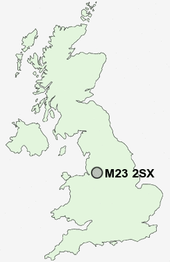
Postcode : M23 2SX, Newall Green, Greater Manchester
Greenbrow Road, Manchester, Greater Manchester.
M23 2SX close to Newall Green and Roundthorn.
Classification
M23 2SX : Constrained city dwellers / Challenged diversity / Multi-ethnic hardship
Local Authority Manchester
Primary Care Trust Manchester Teaching
Ward Baguley
Constituency Wythenshawe and Sale East
Region North West
Country England
Postcode Area M : Manchester
M23 Postcode Sectors
M23 2SX Nearby Postcode Districts
M1 M11 M12 M13 M14 M15 M16 M17 M18 M19 M2 M20 M21 M22 M23 M3 M31 M32 M33 M34 M41 M43 M44 M5 M90 SK1 SK12 SK13 SK14 SK16 SK2 SK22 SK23 SK3 SK4 SK5 SK6 SK7 SK8 SK9 WA1 WA12 WA13 WA14 WA15 WA16 WA2 WA3 WA4 WA5
Stations near to M23 2SX
Manchester Airport Rail Station about 1.41 miles away.Styal Rail Station about 3.13 miles away.
M23 2SX Schools
Newall Green High SchoolBroomwood Primary School
Well Green Primary School
Cloverlea Primary School
Altrincham College of Arts
Elmridge Primary School
UK Search
Antique Furniture
1000s of pieces of Antique Furniture for sale from British antique dealers.