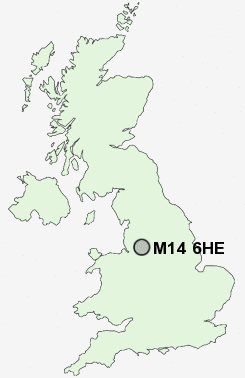
Postcode : M14 6HE, Fallowfield, Greater Manchester
Manchester, Greater Manchester.
Classification
M14 6HE : Cosmopolitans / Students around campus / Student digs
Local Authority Manchester
Primary Care Trust Manchester Teaching
Ward Levenshulme
Constituency Manchester, Gorton
Region North West
Country England
Postcode Area M : Manchester
M14 Postcode Sectors
M14 6HE Nearby Postcode Districts
M1 M11 M12 M13 M14 M15 M16 M17 M18 M19 M2 M20 M21 M22 M23 M25 M27 M28 M29 M3 M30 M31 M32 M33 M34 M35 M38 M4 M40 M41 M43 M44 M46 M5 M6 M60 M7 M8 M9 M90 OL4 OL5 OL6 OL7 OL8 OL9 SK1 SK12 SK13 SK14 SK15 SK16 SK2 SK22 SK3 SK4 SK5 SK6 SK7 SK8 WA1 WA13 WA14 WA15 WA2 WA3 WA4 WN2 WN7
Stations near to M14 6HE
Levenshulme Rail Station about 0.84 miles away.Burnage Rail Station about 1.6 miles away.
Belle Vue Rail Station about 1.83 miles away.
Ardwick Rail Station about 1.87 miles away.
Heaton Chapel Rail Station about 1.91 miles away.
Ashburys Rail Station about 2.04 miles away.
East Didsbury Rail Station about 2.45 miles away.
Gorton Rail Station about 2.57 miles away.
M14 6HE Schools
Levenshulme High SchoolManchester Academy
Manchester Academy
William Hulme's Grammar School
William Hulme's Grammar School
Tithe Barn Primary School
Priestnall School
UK Search
Antique Furniture
1000s of pieces of Antique Furniture for sale from British antique dealers.