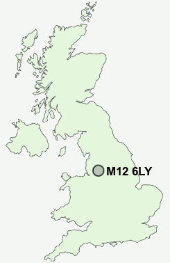
Postcode : M12 6LY, Ardwick, Greater Manchester
Manchester, Greater Manchester.
M12 6LY close to Ardwick, Longsight and West Gorton.
Classification
M12 6LY : Ethnicity central / Ethnic dynamics / Constrained neighbourhoods
Local Authority Manchester
Primary Care Trust Manchester Teaching
Ward Ardwick
Constituency Manchester Central
Region North West
Country England
Postcode Area M : Manchester
M12 Postcode Sectors
M12 6LY Nearby Postcode Districts
BL3 BL4 BL5 M1 M11 M12 M13 M14 M15 M16 M17 M18 M19 M2 M20 M21 M22 M23 M24 M25 M26 M27 M28 M29 M3 M30 M31 M32 M33 M34 M35 M38 M4 M40 M41 M43 M44 M45 M46 M5 M6 M60 M7 M8 M9 OL1 OL2 OL3 OL4 OL5 OL6 OL7 OL8 OL9 SK1 SK13 SK14 SK15 SK16 SK2 SK22 SK3 SK4 SK5 SK6 SK8 WA1 WA13 WA14 WA15 WA2 WA3 WN2 WN7
Stations near to M12 6LY
Ardwick Rail StationAshburys Rail Station about 0.86 miles away.
Deansgate Rail Station about 1.48 miles away.
Belle Vue Rail Station about 1.58 miles away.
Gorton Rail Station about 2.03 miles away.
Levenshulme Rail Station about 2.14 miles away.
Mauldeth Road Rail Station about 2.71 miles away.
Heaton Chapel Rail Station about 3.54 miles away.
M12 6LY Schools
Ashbury Meadow Primary SchoolPlymouth Grove Primary School
Park View Community Primary
Manchester Academy
Manchester Academy
Ravensbury Community School
UK Search
Antique Furniture
1000s of pieces of Antique Furniture for sale from British antique dealers.