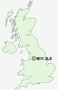
Postcode : M11 2LE, Openshaw, Greater Manchester
Chisholm Street, Openshaw, Manchester.
M11 2LE close to Openshaw and Clayton.
Classification
M11 2LE : Multicultural metropolitans / Rented family living / Commuters with young families
Local Authority Manchester
Primary Care Trust Manchester Teaching
Ward Bradford
Constituency Manchester Central
Region North West
Country England
Postcode Area M : Manchester
M11 Postcode Sectors
M11 2LE Nearby Postcode Districts
BL3 BL4 BL5 M1 M11 M12 M13 M14 M15 M16 M17 M18 M19 M2 M20 M21 M22 M23 M24 M25 M26 M27 M28 M29 M3 M30 M31 M32 M33 M34 M35 M38 M4 M40 M41 M43 M44 M45 M46 M5 M6 M60 M7 M8 M9 OL1 OL3 OL4 OL5 OL6 OL7 OL8 OL9 SK1 SK13 SK14 SK15 SK16 SK2 SK22 SK3 SK4 SK5 SK6 SK8 WA1 WA13 WA14 WA15 WA3 WN7
Stations near to M11 2LE
Gorton Rail StationBelle Vue Rail Station about 0.8 miles away.
Fairfield Rail Station about 0.98 miles away.
Ashburys Rail Station about 1.02 miles away.
Ardwick Rail Station about 1.82 miles away.
Denton Rail Station about 1.87 miles away.
Brinnington Rail Station about 3.09 miles away.
Heaton Chapel Rail Station about 3.23 miles away.
M11 2LE Schools
Manchester Road Primary SchoolFairfield Road Primary School
Greenside Primary School
Moorside Primary School
Denton West End Primary School
Ashbury Meadow Primary School
Aldwyn Primary School
Dane Bank Primary School
UK Search
Antique Furniture
1000s of pieces of Antique Furniture for sale from British antique dealers.