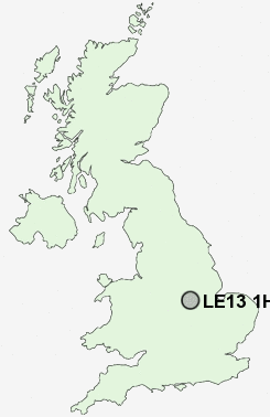
Postcode : LE13 1HA, Leicestershire
Grange Drive, Melton Mowbray, Leicestershire.
Classification
LE13 1HA : Suburbanites / Semi-detached suburbia / Semi-detached ageing
Local Authority Melton
Primary Care Trust Leicestershire County and Rutland
Ward Melton Craven
Constituency Rutland and Melton
Region East Midlands
Country England
Postcode Area LE : Leicester
LE13 Postcode Sectors
LE13 1HA Nearby Postcode Districts
LE11 LE12 LE13 LE14 LE4 LE6 LE7 NG33
Stations near to LE13 1HA
Melton Mowbray Rail Station about 0.74 miles away.LE13 1HA Schools
Sherard Primary School and Community CentreKing Edward VII School
Brownlow School
Saint Francis Catholic Primary School
Swallowdale Primary School and Community Centre
The Long Field High School
The Grove Primary School
John Ferneley High School
UK Search
Antique Jewellery
including Antique Engagement Rings for sale from UK Antique specialists.