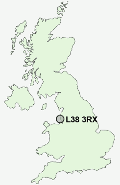
Postcode : L38 3RX, Sefton, Merseyside
Hightown, Liverpool, Merseyside.
L38 3RX close to Hightown and Lady Green.
Classification
L38 3RX : Suburbanites / Semi-detached suburbia / Older workers and retirement
Local Authority Sefton
Primary Care Trust Sefton
Ward Manor
Constituency Sefton Central
Region North West
Country England
Postcode Area L : Liverpool
L38 Postcode Sectors
L38 3RX Nearby Postcode Districts
CH45 L10 L11 L12 L20 L21 L22 L23 L28 L29 L30 L31 L32 L33 L34 L37 L38 L39 L4 L40 L9 WA10 WA11 WA9 WN5 WN6 WN8
Stations near to L38 3RX
Hightown Rail StationHall Road Rail Station about 1.94 miles away.
Formby Rail Station about 2.04 miles away.
Blundellsands & Crosby Rail Station about 2.68 miles away.
Freshfield Rail Station about 2.89 miles away.
L38 3RX Schools
Range High SchoolSt Mary's Catholic Primary School
Redgate Community Primary School
UK Search
Antique Jewellery
including Antique Engagement Rings for sale from UK Antique specialists.