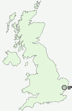
Postcode : IP6 9AE, Westerfield, Suffolk
Westerfield, Ipswich, Suffolk.
Classification
IP6 9AE : Rural residents / Farming communities / Established farming communities
Local Authority Suffolk Coastal
Primary Care Trust Suffolk
Ward Fynn Valley
Constituency Central Suffolk and North Ipswich
Region Eastern
Country England
Postcode Area IP : Ipswich
IP6 Postcode Sectors
IP6 9 Ashbocking, Coddenham, Crowfield, Culpho, Gosbeck
IP6 0 Barham, Claydon, Great Blakenham, Henley
IP6 0 Barham, Claydon, Great Blakenham, Henley
IP6 9AE Nearby Postcode Districts
IP1 IP10 IP12 IP2 IP3 IP4 IP5 IP6 IP7 IP8 IP9
Stations near to IP6 9AE
Westerfield Rail StationDerby Road (Ipswich) Rail Station about 2.24 miles away.
Ipswich Rail Station about 2.3 miles away.
IP6 9AE Schools
Sidegate Primary SchoolWhitton Community Primary School
St Helen's Primary School
Handford Hall Primary School
Clifford Road Primary School
UK Search
Antique Jewellery
including Antique Engagement Rings for sale from UK Antique specialists.