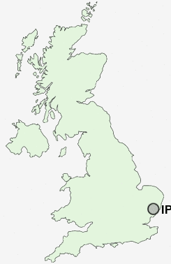
Postcode : IP3 9JL, Suffolk
Nacton Road, Ipswich.
IP3 9JL close to Racecourse, Rose Hill, Greenwich, Priory Heath, Broke Hall and Gainsborough.
Classification
IP3 9JL : Hard-pressed living / Migration and churn / Hard-pressed ethnic mix
Local Authority Ipswich
Primary Care Trust Suffolk
Ward Priory Heath
Constituency Ipswich
Region Eastern
Country England
Postcode Area IP : Ipswich
IP3 Postcode Sectors
IP3 9JL Nearby Postcode Districts
CO11 IP1 IP10 IP11 IP12 IP2 IP3 IP4 IP5 IP6 IP7 IP8 IP9
Stations near to IP3 9JL
Derby Road (Ipswich) Rail Station about 0.6 miles away.Ipswich Rail Station about 1.8 miles away.
Westerfield Rail Station about 2.81 miles away.
IP3 9JL Schools
Murrayfield Community Primary SchoolRose Hill Primary School
Cliff Lane Primary School
Morland Primary School
Britannia Primary School and Nursery
Ravenswood Community Primary School
Clifford Road Primary School
Broke Hall Community Primary School
St Helen's Primary School
Hillside Community Primary School
Sidegate Primary School
UK Search
Antique Jewellery
including Antique Engagement Rings for sale from UK Antique specialists.