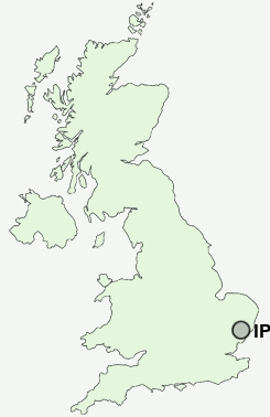
Postcode : IP2 8AL, Diss, Suffolk, Norfolk
Ipswich, Suffolk.
IP2 8AL close to Watton, Stoke, Chantry, Maidenhall and Stoke Park.
Classification
IP2 8AL : Multicultural metropolitans / Rented family living / Private renting new arrivals
Local Authority Ipswich
Primary Care Trust Suffolk
Ward Gipping
Constituency Ipswich
Region Eastern
Country England
Postcode Area IP : Ipswich
IP2 Postcode Sectors
IP2 8AL Nearby Postcode Districts
CO8 IP1 IP10 IP11 IP12 IP2 IP3 IP4 IP5 IP6 IP7 IP8 IP9
Stations near to IP2 8AL
Ipswich Rail StationDerby Road (Ipswich) Rail Station about 1.64 miles away.
Westerfield Rail Station about 2.29 miles away.
IP2 8AL Schools
Hillside Community Primary SchoolRanelagh Primary School
Handford Hall Primary School
The Oaks Community Primary School
St Helen's Primary School
Cliff Lane Primary School
Springfield Junior School
Clifford Road Primary School
Rose Hill Primary School
Sidegate Primary School
UK Search
Antique Jewellery
including Antique Engagement Rings for sale from UK Antique specialists.