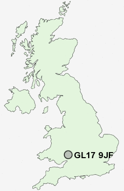
Postcode : GL17 9JF, Drybrook, Gloucestershire
Drybrook, Gloucestershire.
GL17 9JF close to Drybrook, Harrow Hill, Nailbridge and Ruardean Hill.
Classification
GL17 9JF : Rural residents / Rural tenants / Rural white-collar workers
Local Authority Forest of Dean
Primary Care Trust Gloucestershire
Ward Mitcheldean and Drybrook
Constituency Forest of Dean
Region South West
Country England
Postcode Area GL : Gloucester
GL17 Postcode Sectors
GL17 9JF Nearby Postcode Districts
GL1 GL14 GL16 GL17 GL18 GL19 GL2 GL3 GL4 HR9 NP25
GL17 9JF Schools
Drybrook Primary SchoolSteam Mills Primary School
Woodside Primary School
Mitcheldean Endowed Primary School
Dene Magna School
Ruardean Church of England Primary School
UK Search
Antique Jewellery
including Antique Engagement Rings for sale from UK Antique specialists.