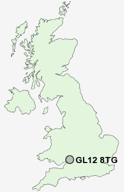
Postcode : GL12 8TG, Charfield, Gloucestershire
Wotton Road, Charfield, Wotton-under-Edge.
GL12 8TG close to Charfield, Charfield Green, Charfield Hill, Little Bristol, Churchend and Avening Green.
Classification
GL12 8TG : Suburbanites / Semi-detached suburbia / White suburban communities
Local Authority South Gloucestershire
Primary Care Trust South Gloucestershire
Ward Charfield
Constituency Thornbury and Yate
Region South West
Country England
Postcode Area GL : Gloucester
GL12 Postcode Sectors
GL12 8TG Nearby Postcode Districts
BS32 BS35 BS37 GL11 GL12 GL13 GL8 GL9 NP16 NP26 SN16
GL12 8TG Schools
Charfield Primary SchoolTortworth VC Primary School
Kingswood Primary School
St Andrew's Church of England Primary School, Cromhall
UK Search
Antique Jewellery
including Antique Engagement Rings for sale from UK Antique specialists.