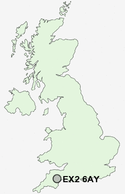
Postcode : EX2 6AY, Bude, Cornwall
Burnthouse Lane, Exeter.
EX2 6AY close to Stratton and Countess Wear.
Classification
EX2 6AY : Hard-pressed living / Migration and churn / Young hard-pressed families
Local Authority Exeter
Primary Care Trust Devon
Ward Priory
Constituency Exeter
Region South West
Country England
Postcode Area EX : Exeter
EX2 Postcode Sectors
EX2 6AY Nearby Postcode Districts
EX1 EX10 EX11 EX2 EX3 EX4 EX5 EX6 EX8 EX9
Stations near to EX2 6AY
Digby & Sowton Rail Station about 1.39 miles away.Polsloe Bridge Rail Station about 1.4 miles away.
Exeter St Thomas Rail Station about 1.54 miles away.
St James Park (Devon) Rail Station about 1.57 miles away.
Exeter Central Rail Station about 1.63 miles away.
Exeter St Davids Rail Station about 2.09 miles away.
Pinhoe Rail Station about 2.41 miles away.
Topsham Rail Station about 2.47 miles away.
EX2 6AY Schools
Wynstream SchoolIsca College of Media Arts
Ladysmith Infant & Nursery School
Clyst Heath Nursery and Community Primary School
Ladysmith Junior School
Countess Wear Community School
Newtown Primary School
West Exe School
Alphington Primary School
Montgomery Primary School
St James School
UK Search
Antique Jewellery
including Antique Engagement Rings for sale from UK Antique specialists.