Postcode : EN7 5JS, Goff's Oak, Hertfordshire
Jones Road, Goff's Oak, Waltham Cross.
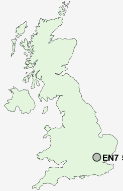
EN7 5JS close to Goff's Oak and Lucas End.
Classification
EN7 5JS : Suburbanites / Suburban achievers / Detached retirement living
Local Authority Broxbourne
Primary Care Trust Hertfordshire
Ward Goffs Oak
Constituency Broxbourne
Region Eastern
Country England
Postcode Area EN : Enfield
EN7 Postcode Sectors
EN7 5JS Nearby Postcode Districts
AL1 AL10 AL2 AL3 AL4 AL7 AL8 AL9 CM14 CM15 CM16 CM17 CM18 CM19 CM20 CM5 E4 EN1 EN10 EN11 EN2 EN3 EN4 EN5 EN6 EN7 EN8 EN9 HA6 HA7 HA8 HP1 HP2 HP3 IG10 IG7 IG9 N11 N12 N13 N14 N18 N20 N21 N9 NW7 RM4 SG13 SG14 WD1 WD17 WD18 WD19 WD2 WD23 WD24 WD25 WD3 WD4 WD5 WD6 WD7
Stations near to EN7 5JS
Cuffley Rail Station about 0.79 miles away.Crews Hill Rail Station about 1.77 miles away.
Turkey Street Rail Station about 3.1 miles away.
Gordon Hill Rail Station about 3.1 miles away.
Bayford Rail Station about 3.43 miles away.
EN7 5JS Schools
Woodside Primary SchoolGoffs Oak Primary & Nursery School
Cuffley School
Fairfields Primary School and Nursery
Goffs School
Flamstead End Primary and Nursery School
Bonneygrove Primary School
Andrews Lane Primary School
St Paul's Catholic Primary School
UK Search
Antique Jewellery
including Antique Engagement Rings for sale from UK Antique specialists.