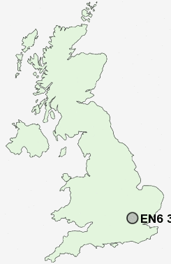
Postcode : EN6 3DJ, Potters Bar, Hertfordshire
Wroxham Gardens, Potters Bar.
Classification
EN6 3DJ : Suburbanites / Semi-detached suburbia / Multi-ethnic suburbia
Local Authority Hertsmere
Primary Care Trust Hertfordshire
Ward Potters Bar Furzefield
Constituency Hertsmere
Region Eastern
Country England
Postcode Area EN : Enfield
EN6 Postcode Sectors
EN6 3DJ Nearby Postcode Districts
AL1 AL10 AL2 AL3 AL4 AL7 AL9 CM16 CM17 CM18 CM19 CM20 E4 EN1 EN10 EN11 EN2 EN3 EN4 EN5 EN6 EN7 EN8 EN9 HA6 HA7 HA8 HP1 HP2 HP3 HP4 HP5 HP6 HP7 HP8 IG10 IG7 IG8 IG9 N11 N12 N13 N14 N18 N20 N21 N3 N9 NW7 RM4 SG13 WD1 WD17 WD18 WD19 WD2 WD23 WD24 WD25 WD3 WD4 WD5 WD6 WD7
Stations near to EN6 3DJ
Potters Bar Rail Station about 0.87 miles away.Brookmans Park Rail Station about 1.51 miles away.
Welham Green Rail Station about 2.53 miles away.
Hadley Wood Rail Station about 2.66 miles away.
EN6 3DJ Schools
The Wroxham SchoolCranborne Primary School
Dame Alice Owen's School
Sunny Bank Primary School
Mount Grace School
Lochinver House School
Norfolk Lodge School Ltd
Ladbrooke Junior Mixed and Infant School
Little Heath Primary School
Brookmans Park Primary School
UK Search
Antique Jewellery
including Antique Engagement Rings for sale from UK Antique specialists.