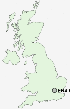
Postcode : EN4 0HT, East Barnet, Greater London, Barnet, Greater London
Courtleigh Avenue, Barnet.
Classification
EN4 0HT : Suburbanites / Suburban achievers / Indian tech achievers
Local Authority Enfield
Primary Care Trust Enfield
Ward Cockfosters
Constituency Enfield, Southgate
Region London
Country England
Postcode Area EN : Enfield
EN4 Postcode Sectors
EN4 0HT Nearby Postcode Districts
AL1 AL10 AL2 AL9 CM16 CM18 CM19 E17 E18 E4 EN1 EN10 EN11 EN2 EN3 EN4 EN5 EN6 EN7 EN8 EN9 HA1 HA2 HA3 HA5 HA6 HA7 HA8 HP1 HP2 HP3 HP4 IG10 IG2 IG4 IG5 IG6 IG7 IG8 IG9 N10 N11 N12 N13 N14 N15 N17 N18 N2 N20 N21 N22 N3 N4 N6 N8 N9 NW11 NW4 NW7 NW9 RM1 RM2 RM3 RM4 RM5 RM6 RM7 SL9 UB9 WD1 WD17 WD18 WD19 WD2 WD23 WD24 WD25 WD3 WD4 WD5 WD6 WD7
Stations near to EN4 0HT
Hadley Wood Rail Station about 0.25 miles away.New Barnet Rail Station about 1.49 miles away.
Potters Bar Rail Station about 2.09 miles away.
Oakleigh Park Rail Station about 2.24 miles away.
EN4 0HT Schools
Hadley Wood Primary SchoolLivingstone Primary and Nursery School
Oakmere Primary School
Ladbrooke Junior Mixed and Infant School
Danegrove Primary School
UK Search
Antique Jewellery
including Antique Engagement Rings for sale from UK Antique specialists.