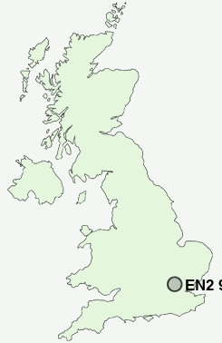
Postcode : EN2 9HA, Clay Hill, Greater London, Enfield, Greater London
Forty Hill, Enfield, Greater London.
Classification
EN2 9HA : Multicultural metropolitans / Rented family living / Commuters with young families
Local Authority Enfield
Primary Care Trust Enfield
Ward Chase
Constituency Enfield North
Region London
Country England
Postcode Area EN : Enfield
EN2 Postcode Sectors
EN2 9HA Nearby Postcode Districts
AL1 AL10 AL2 AL9 CM14 CM15 CM16 CM18 CM19 CM5 E17 E18 E4 EN1 EN10 EN11 EN2 EN3 EN4 EN5 EN6 EN7 EN8 EN9 HA1 HA2 HA3 HA4 HA5 HA6 HA7 HA8 HP2 IG10 IG2 IG4 IG5 IG6 IG7 IG8 IG9 N10 N11 N12 N13 N14 N15 N17 N18 N2 N20 N21 N22 N3 N4 N6 N8 N9 NW11 NW4 NW7 NW9 RM1 RM11 RM2 RM3 RM4 RM5 RM6 RM7 WD1 WD17 WD18 WD19 WD2 WD23 WD24 WD25 WD4 WD5 WD6 WD7
Stations near to EN2 9HA
Enfield Chase Rail Station about 1.48 miles away.Enfield Lock Rail Station about 1.72 miles away.
Brimsdown Rail Station about 1.89 miles away.
Crews Hill Rail Station about 1.93 miles away.
Bush Hill Park Rail Station about 1.95 miles away.
Cheshunt Rail Station about 2.98 miles away.
Edmonton Green Rail Station about 3.12 miles away.
Cuffley Rail Station about 3.22 miles away.
EN2 9HA Schools
Chace Community SchoolEnfield County School
Kingsmead School
Lea Valley High School
Hurst Drive Primary School
Bush Hill Park Primary School
UK Search
Antique Jewellery
including Antique Engagement Rings for sale from UK Antique specialists.