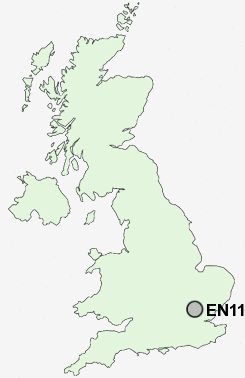
Postcode : EN11 9AR, Hoddesdon, Hertfordshire
High Wood Road, Hoddesdon.
EN11 9AR close to Woollensbrook, Hailey, Rye Park and Goose Green.
Classification
EN11 9AR : Hard-pressed living / Industrious communities / Industrious transitions
Local Authority Broxbourne
Primary Care Trust Hertfordshire
Ward Hoddesdon North
Constituency Broxbourne
Region Eastern
Country England
Postcode Area EN : Enfield
EN11 Postcode Sectors
EN11 9AR Nearby Postcode Districts
AL1 AL10 AL2 AL3 AL4 AL5 AL6 AL7 AL8 AL9 CM16 CM17 CM18 CM19 CM20 CM21 CM22 CM23 CM5 EN10 EN11 EN6 EN7 EN8 EN9 SG10 SG12 SG13 SG14 SG3 WD25 WD5 WD7
Stations near to EN11 9AR
Rye House Rail Station about 1.12 miles away.St Margarets (Herts) Rail Station about 1.32 miles away.
Broxbourne Rail Station about 1.89 miles away.
Ware Rail Station about 2.4 miles away.
EN11 9AR Schools
Roselands Primary SchoolThe Cranbourne Primary School
Westfield Community Primary School
Forres Primary School
Sheredes School
Hertford Heath Primary and Nursery School
Sheredes Primary School
UK Search
Antique Jewellery
including Antique Engagement Rings for sale from UK Antique specialists.