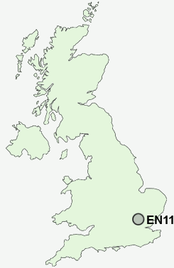
Postcode : EN11 0EG, Hoddesdon, Hertfordshire
Hoddesdon, Hertfordshire.
EN11 0EG close to Rye Park, Hailey and Spitalbrook.
Classification
EN11 0EG : Urbanites / Urban professionals and families / Families in terraces and flats
Local Authority Broxbourne
Primary Care Trust Hertfordshire
Ward Hoddesdon Town and Rye Park
Constituency Broxbourne
Region Eastern
Country England
Postcode Area EN : Enfield
EN11 Postcode Sectors
EN11 0EG Nearby Postcode Districts
AL1 AL10 AL2 AL3 AL4 AL5 AL6 AL7 AL8 AL9 CM16 CM17 CM18 CM19 CM20 CM21 CM22 CM4 CM5 EN10 EN11 EN6 EN7 EN8 EN9 SG10 SG12 SG13 SG14 SG3 WD25 WD7
Stations near to EN11 0EG
Rye House Rail StationSt Margarets (Herts) Rail Station about 1.29 miles away.
Roydon Rail Station about 1.38 miles away.
Broxbourne Rail Station about 1.71 miles away.
Ware Rail Station about 3.04 miles away.
EN11 0EG Schools
The John Warner SchoolForres Primary School
The Cranbourne Primary School
Westfield Community Primary School
Roselands Primary School
Sheredes School
Roydon Primary School
Sheredes Primary School
UK Search
Antique Jewellery
including Antique Engagement Rings for sale from UK Antique specialists.