Postcode : EN10 7AS, Keysers Estate, Hertfordshire, Essex
Broxbourne, Hertfordshire, England.
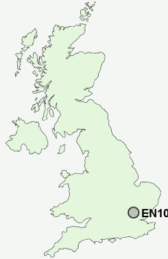
EN10 7AS close to Keysers Estate and Broxbourne.
Classification
EN10 7AS : Urbanites / Ageing urban living / Self-sufficient retirement
Local Authority Broxbourne
Primary Care Trust Hertfordshire
Ward Broxbourne and Hoddesdon South
Constituency Broxbourne
Region Eastern
Country England
Postcode Area EN : Enfield
EN10 Postcode Sectors
EN10 7AS Nearby Postcode Districts
AL1 AL10 AL2 AL3 AL4 AL5 AL6 AL7 AL8 AL9 CM16 CM17 CM18 CM19 CM20 CM21 CM5 EN1 EN10 EN11 EN2 EN3 EN4 EN5 EN6 EN7 EN8 EN9 IG10 SG10 SG12 SG13 SG14 WD1 WD17 WD2 WD24 WD25 WD6 WD7
Stations near to EN10 7AS
Broxbourne Rail StationRye House Rail Station about 1.85 miles away.
Cheshunt Rail Station about 2.95 miles away.
Roydon Rail Station about 2.96 miles away.
St Margarets (Herts) Rail Station about 3.01 miles away.
EN10 7AS Schools
The Broxbourne SchoolSheredes Primary School
Sheredes School
Westfield Community Primary School
Longlands Primary School and Nursery
UK Search
Antique Jewellery
including Antique Engagement Rings for sale from UK Antique specialists.