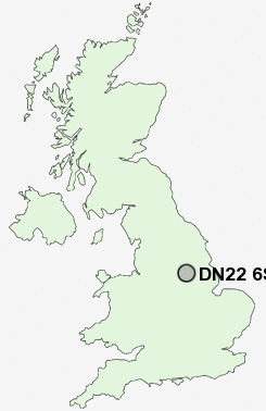
Postcode : DN22 6SW, Retford, Nottinghamshire
Tiln Lane, Retford.
DN22 6SW close to Bolham, Balk Field, Welham and West Retford.
Classification
DN22 6SW : Suburbanites / Semi-detached suburbia / Semi-detached ageing
Local Authority Bassetlaw
Primary Care Trust Bassetlaw
Ward East Retford East
Constituency Bassetlaw
Region East Midlands
Country England
Postcode Area DN : Doncaster
DN22 Postcode Sectors
DN22 8 Babworth, Barnby Moor, Bilby, Bothamsall, Elkesley
DN22 6 Balk Field, Retford, Thrumpton
DN22 9 Bole, Bolham, Clarborough, Clayworth, Hayton
DN22 6 Balk Field, Retford, Thrumpton
DN22 9 Bole, Bolham, Clarborough, Clayworth, Hayton
DN22 0 Church Laneham, Coates, Cottam, East Drayton, Eaton
DN22 7 Ordsall, West Retford, White Houses
DN22 7 Ordsall, West Retford, White Houses
DN22 6SW Nearby Postcode Districts
DN10 DN21 DN22 LN1 S25 S26 S66 S80 S81
Stations near to DN22 6SW
Retford Rail Station about 1.24 miles away.Retford Low Level Rail Station about 1.26 miles away.
DN22 6SW Schools
Carr Hill Primary and Nursery SchoolSt Swithun's CofE Primary School
The Elizabethan High School
Hallcroft Infant and Nursery School
St Joseph's Catholic Primary School
Retford Oaks High School
Thrumpton Primary School
Bracken Lane Primary and Nursery School
Ordsall Primary School
The Bridge School
Clarborough Primary School
UK Search
Antique Jewellery
including Antique Engagement Rings for sale from UK Antique specialists.