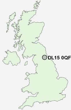
Postcode : DL15 0QF, Crook, County Durham
Hall Lane Estate, Willington, Crook.
DL15 0QF close to Willington, Sunny Brow and Helmington Row.
Classification
DL15 0QF : Hard-pressed living / Industrious communities / Industrious hardship
Local Authority County Durham
Primary Care Trust County Durham
Ward Willington and Hunwick
Constituency North West Durham
Region North East
Country England
Postcode Area DL : Darlington
DL15 Postcode Sectors
DL15 9 Billy Row, Roddymoor, Stanley Crook
DL15 8 Craigside, Crook, Fir Tree, High Grange, Howden-le-Wear
DL15 8 Craigside, Crook, Fir Tree, High Grange, Howden-le-Wear
DL15 0QF Nearby Postcode Districts
DH1 DH6 DH7 DL13 DL14 DL15 DL16 DL17 DL4 DL5 SR8 TS21 TS22 TS28 TS29
Stations near to DL15 0QF
Bishop Auckland Rail Station about 3.48 miles away.Bishop Auckland Rail Station about 3.48 miles away.
DL15 0QF Schools
Parkside SchoolSt Stephen's Church of England Primary School
Willington Primary School
Our Lady and St Thomas Roman Catholic Voluntary Aided Primary
Sunnybrow Primary School
Byers Green Primary School
Hunwick Primary School
UK Search
Antique Jewellery
including Antique Engagement Rings for sale from UK Antique specialists.