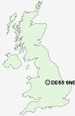
Postcode : DE65 6NB, Etwall, Derbyshire
Egginton Road, Etwall, Derby.
DE65 6NB close to Etwall and Etwall Common.
Classification
DE65 6NB : Constrained city dwellers / Ageing city dwellers / Ageing communities and families
Local Authority South Derbyshire
Primary Care Trust Derbyshire County
Ward Etwall
Constituency South Derbyshire
Region East Midlands
Country England
Postcode Area DE : Derby
DE65 Postcode Sectors
DE65 6NB Nearby Postcode Districts
DE1 DE13 DE14 DE15 DE21 DE22 DE23 DE24 DE3 DE65 DE7 DE72 DE73 DE74 NG10 NG8 NG9 ST14
Stations near to DE65 6NB
Willington Rail Station about 2.51 miles away.DE65 6NB Schools
Etwall Primary SchoolJohn Port School
Hilton Primary School
UK Search
Antique Jewellery
including Antique Engagement Rings for sale from UK Antique specialists.