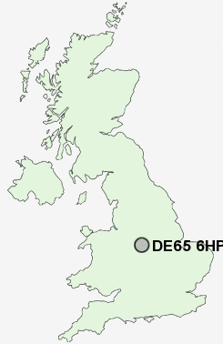
Postcode : DE65 6HP, Egginton, Derbyshire
Church Road, Egginton, Derby.
DE65 6HP close to Egginton, Clay Mills and Egginton Common.
Classification
DE65 6HP : Rural residents / Rural tenants / Rural white-collar workers
Local Authority South Derbyshire
Primary Care Trust Derbyshire County
Ward Etwall
Constituency South Derbyshire
Region East Midlands
Country England
Postcode Area DE : Derby
DE65 Postcode Sectors
DE65 6HP Nearby Postcode Districts
DE1 DE11 DE13 DE14 DE15 DE21 DE22 DE23 DE24 DE3 DE65 DE72 DE73 DE74 LE11 NG10 NG9 ST14 WS15
Stations near to DE65 6HP
Willington Rail Station about 1.74 miles away.Burton-on-Trent Rail Station about 3.4 miles away.
DE65 6HP Schools
Egginton Primary SchoolWilliam Shrewsbury Primary School
Newton Solney CofE (Aided) Infant School
UK Search
Antique Jewellery
including Antique Engagement Rings for sale from UK Antique specialists.