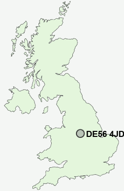
Postcode : DE56 4JD, Duffield, Derbyshire
Duffield, Belper, Derbyshire.
DE56 4JD close to Duffield, Duffieldbank, Flaxholme and Makeney.
Classification
DE56 4JD : Urbanites / Ageing urban living / Self-sufficient retirement
Local Authority Amber Valley
Primary Care Trust Derbyshire County
Ward Duffield
Constituency Mid Derbyshire
Region East Midlands
Country England
Postcode Area DE : Derby
DE56 Postcode Sectors
DE56 2 Alderwasley, Belper Lane End, Blackbrook, Boothgate, Broadholm
DE56 0 Bargate, Cinderhill, Far Laund, Holbrook, Holbrook Moor
DE56 0 Bargate, Cinderhill, Far Laund, Holbrook, Holbrook Moor
DE56 4JD Nearby Postcode Districts
DE1 DE21 DE22 DE23 DE24 DE3 DE5 DE56 DE6 DE7 DE72 DE75 NG1 NG10 NG11 NG15 NG16 NG2 NG3 NG5 NG6 NG7 NG8 NG9 ST14
Stations near to DE56 4JD
Duffield Rail StationBelper Rail Station about 2.46 miles away.
DE56 4JD Schools
William Gilbert End Primary SchoolThe Ecclesbourne School
Duffield the Meadows Primary School
Milford Primary School
Little Eaton Primary School
UK Search
Antique Jewellery
including Antique Engagement Rings for sale from UK Antique specialists.