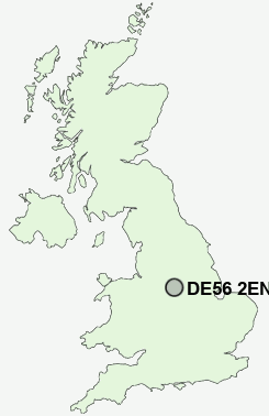
Postcode : DE56 2EN, Belper, Derbyshire
Midland Terrace, Ambergate, Belper.
DE56 2EN close to Ridgeway, Bullbridge and Toadmoor.
Classification
DE56 2EN : Suburbanites / Semi-detached suburbia / White suburban communities
Local Authority Amber Valley
Primary Care Trust Derbyshire County
Ward Heage and Ambergate
Constituency Amber Valley
Region East Midlands
Country England
Postcode Area DE : Derby
DE56 Postcode Sectors
DE56 2 Alderwasley, Belper Lane End, Blackbrook, Boothgate, Broadholm
DE56 0 Bargate, Cinderhill, Far Laund, Holbrook, Holbrook Moor
DE56 0 Bargate, Cinderhill, Far Laund, Holbrook, Holbrook Moor
DE56 2EN Nearby Postcode Districts
DE4 DE5 DE55 DE56 DE6 DE7 DE75 NG15 NG16 NG17 NG18 NG19 NG21 NG3 NG4 NG5 NG6 NG8
Stations near to DE56 2EN
Ambergate Rail StationWhatstandwell Rail Station about 1.89 miles away.
Belper Rail Station about 2.53 miles away.
DE56 2EN Schools
Ambergate Primary SchoolFritchley CofE (Aided) Primary & Nursery School
Heage Primary School
Crich Junior School
Crich Church of England Infant School
Crich Carr CofE Primary School
UK Search
Antique Jewellery
including Antique Engagement Rings for sale from UK Antique specialists.