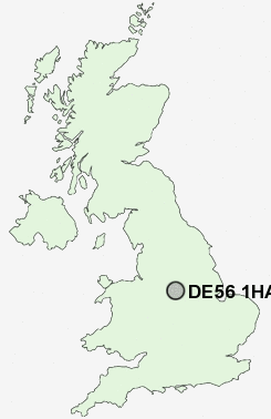
Postcode : DE56 1HA, Belper, Derbyshire
Kilbourne Road, Belper.
DE56 1HA close to Openwoodgate, The Gutter, Far Laund, White Moor, Bargate and Cinderhill.
Classification
DE56 1HA : Suburbanites / Semi-detached suburbia / White suburban communities
Local Authority Amber Valley
Primary Care Trust Derbyshire County
Ward Belper Central
Constituency Mid Derbyshire
Region East Midlands
Country England
Postcode Area DE : Derby
DE56 Postcode Sectors
DE56 2 Alderwasley, Belper Lane End, Blackbrook, Boothgate, Broadholm
DE56 0 Bargate, Cinderhill, Far Laund, Holbrook, Holbrook Moor
DE56 0 Bargate, Cinderhill, Far Laund, Holbrook, Holbrook Moor
DE56 1HA Nearby Postcode Districts
DE21 DE22 DE4 DE5 DE55 DE56 DE6 DE7 DE75 NG1 NG15 NG16 NG17 NG2 NG3 NG4 NG5 NG6 NG7 NG8
Stations near to DE56 1HA
Belper Rail Station about 0.82 miles away.Ambergate Rail Station about 2.4 miles away.
Duffield Rail Station about 2.84 miles away.
DE56 1HA Schools
Pottery Primary SchoolBelper School and Sixth Form Centre
Herbert Strutt Primary School
Long Row Primary School
Street Lane Primary School
John Flamsteed Community School
Heage Primary School
Kilburn Junior School
Kilburn Infant and Nursery School
Milford Primary School
UK Search
Antique Jewellery
including Antique Engagement Rings for sale from UK Antique specialists.