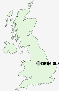
Postcode : DE56 0LA, Belper, Derbyshire
Belper, Derbyshire, England.
DE56 0LA close to Kilburn, Lower Kilburn, Rawson Green, Holbrook Moor, Bargate and Cinderhill.
Classification
DE56 0LA : Urbanites / Ageing urban living / Communal retirement
Local Authority Amber Valley
Primary Care Trust Derbyshire County
Ward Kilburn, Denby and Holbrook
Constituency Amber Valley
Region East Midlands
Country England
Postcode Area DE : Derby
DE56 Postcode Sectors
DE56 2 Alderwasley, Belper Lane End, Blackbrook, Boothgate, Broadholm
DE56 0 Bargate, Cinderhill, Far Laund, Holbrook, Holbrook Moor
DE56 0 Bargate, Cinderhill, Far Laund, Holbrook, Holbrook Moor
DE56 0LA Nearby Postcode Districts
DE1 DE21 DE22 DE5 DE55 DE56 DE6 DE7 DE75 NG1 NG12 NG14 NG15 NG16 NG2 NG3 NG4 NG5 NG6 NG7 NG8 NG9
Stations near to DE56 0LA
Belper Rail Station about 2.22 miles away.DE56 0LA Schools
Kilburn Junior SchoolKilburn Infant and Nursery School
John Flamsteed Community School
Horsley Woodhouse Primary School
Belper School and Sixth Form Centre
Herbert Strutt Primary School
Street Lane Primary School
Pottery Primary School
UK Search
Antique Jewellery
including Antique Engagement Rings for sale from UK Antique specialists.