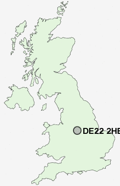
Postcode : DE22 2HE, Allestree, Derby, Derbyshire
Woodlands Road, Allestree, Derby.
Classification
DE22 2HE : Suburbanites / Semi-detached suburbia / Semi-detached ageing
Local Authority Derby
Primary Care Trust Derby City
Ward Allestree
Constituency Mid Derbyshire
Region East Midlands
Country England
Postcode Area DE : Derby
DE22 Postcode Sectors
DE22 2HE Nearby Postcode Districts
DE1 DE21 DE22 DE23 DE24 DE3 DE5 DE56 DE6 DE65 DE7 DE72 DE75 NG1 NG10 NG11 NG15 NG16 NG2 NG3 NG5 NG6 NG7 NG8 NG9 ST14
Stations near to DE22 2HE
Duffield Rail Station about 2.32 miles away.Derby Rail Station about 2.94 miles away.
DE22 2HE Schools
Portway Infant SchoolPortway Junior School
Lawn Primary School
Markeaton Primary School
UK Search
Antique Jewellery
including Antique Engagement Rings for sale from UK Antique specialists.