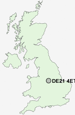
Postcode : DE21 4ET, Breadsall Hilltop, Derby, Derbyshire
Saint Andrews View, Derby.
DE21 4ET close to Breadsall Hilltop, Chaddesden, Breadsall and Oakwood.
Classification
DE21 4ET : Hard-pressed living / Challenged terraced workers / Hard pressed rented terraces
Local Authority Derby
Primary Care Trust Derby City
Ward Derwent
Constituency Derby North
Region East Midlands
Country England
Postcode Area DE : Derby
DE21 Postcode Sectors
DE21 4 Breadsall, Breadsall Hilltop
DE21 6 Chaddesden, Cherrytree Hill
DE21 5 Coxbench, Horsley, Little Eaton
DE21 6 Chaddesden, Cherrytree Hill
DE21 5 Coxbench, Horsley, Little Eaton
DE21 4ET Nearby Postcode Districts
DE1 DE21 DE22 DE23 DE24 DE3 DE56 DE6 DE65 DE7 DE72 DE73 DE74 DE75 NG1 NG10 NG11 NG12 NG16 NG2 NG3 NG4 NG5 NG6 NG7 NG8 NG9
Stations near to DE21 4ET
Derby Rail Station about 1.84 miles away.Spondon Rail Station about 2.53 miles away.
Peartree Rail Station about 3.25 miles away.
Duffield Rail Station about 3.61 miles away.
DE21 4ET Schools
Da Vinci Community SchoolDerwent Community School
Lees Brook Community Sports College
Chaddesden Park Primary School
Landau Forte College
Landau Forte College
UK Search
Antique Jewellery
including Antique Engagement Rings for sale from UK Antique specialists.